
Forecast Issued – January 14th 2018
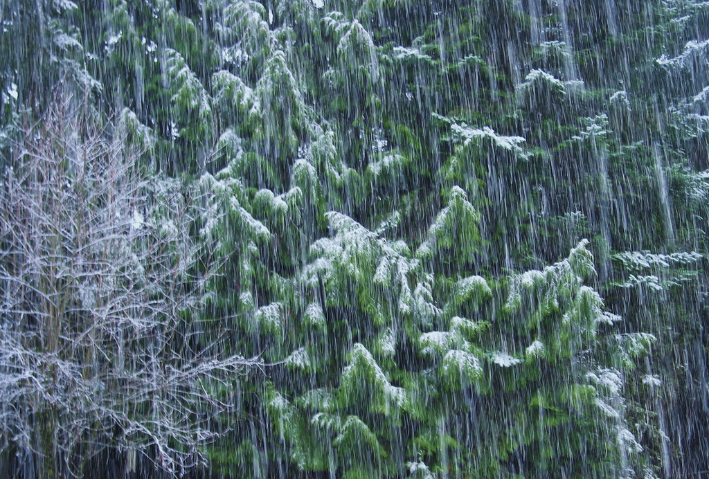 SUNDAY JAN 14th: Partly cloudy with fog clearing, however turning overcast during the early afternoon with rain developing by the late afternoon. Cool with highs around 7c or 8c in southwesterly breezes. OVERNIGHT: Rain continuing for the first half of the night accompanied by fresh to strong southwesterly winds. Rain will clear to blustery showers later with winds backing westerly and remaining fresh to strong. Lows of around 6c or 7c.
MONDAY JAN 15th: A blustery westerly airflow will bring passing heavy showers, some thundery and short sunny spells. Feeling cool with highs of around 8c early on but values dropping towards evening. The showers will turn wintry by evening with hail and sleet at times. OVERNIGHT: Westerly winds will remain fresh to strong and it will become much colder with showers of sleet and snow continuing throughout. Lows around 1c or 2c.
TUESDAY JAN 16th: Showers of sleet and snow continuing with some accumulations of snow especially over high ground. Feeling bitterly cold in the strong northwest winds as highs struggle to reach 2c or 3c at best. OVERNIGHT: Sleet and snow showers continuing in a fresh to strong northwest wind. Some frost in areas sheltered from the wind. Lows of 0c or 1c.
WEDNESDAY JAN 17th: Showers of sleet and snow turning back to rain or sleet as slightly milder air (up to around 4c or 5c) pushes up from the southwest, winds westerly at first will back southwesterly during the late morning. Showers will tend to die out in the afternoon as cloud builds from the west heralding a stormy spell later on Wednesday and OVERNIGHT: Rain, sleet and hill snow extending from the west along with very strong west to southwest winds with gales and storm-force gusts up to 110kph, possibly higher. Rain, sleet and hill snow will clear before daybreak. Cool with lows of 2c to 5c.
THURSDAY JAN 18th: Strong westerly winds with storm-force gusts continuing for a time in the morning, but slowly easing throughout the day. Highs of 5c or 6c early on, but these values will drop throughout the day as winds veer northwesterly once more. Showers, some thundery and of rain, sleet and hail will turn increasingly wintry towards evening with hill snow returning. OVERNIGHT: Cold with scattered wintry showers. Lows of 0c to 1c in fresh northwest winds. Some frost and ice in areas sheltered from the wind.
FRIDAY JAN 19th: A cold showery day in fresh northwest winds, backing westerly later and easing. Showers of hail, sleet and hill snow. Highs of 3c or 4c at best. OVERNIGHT: Light variable winds and turning very cold with lows of -3c to 0c.
OUTLOOK: Becoming less cold for the weekend as winds back southwesterly, however spells of rain at times look set to move in off the Atlantic.


